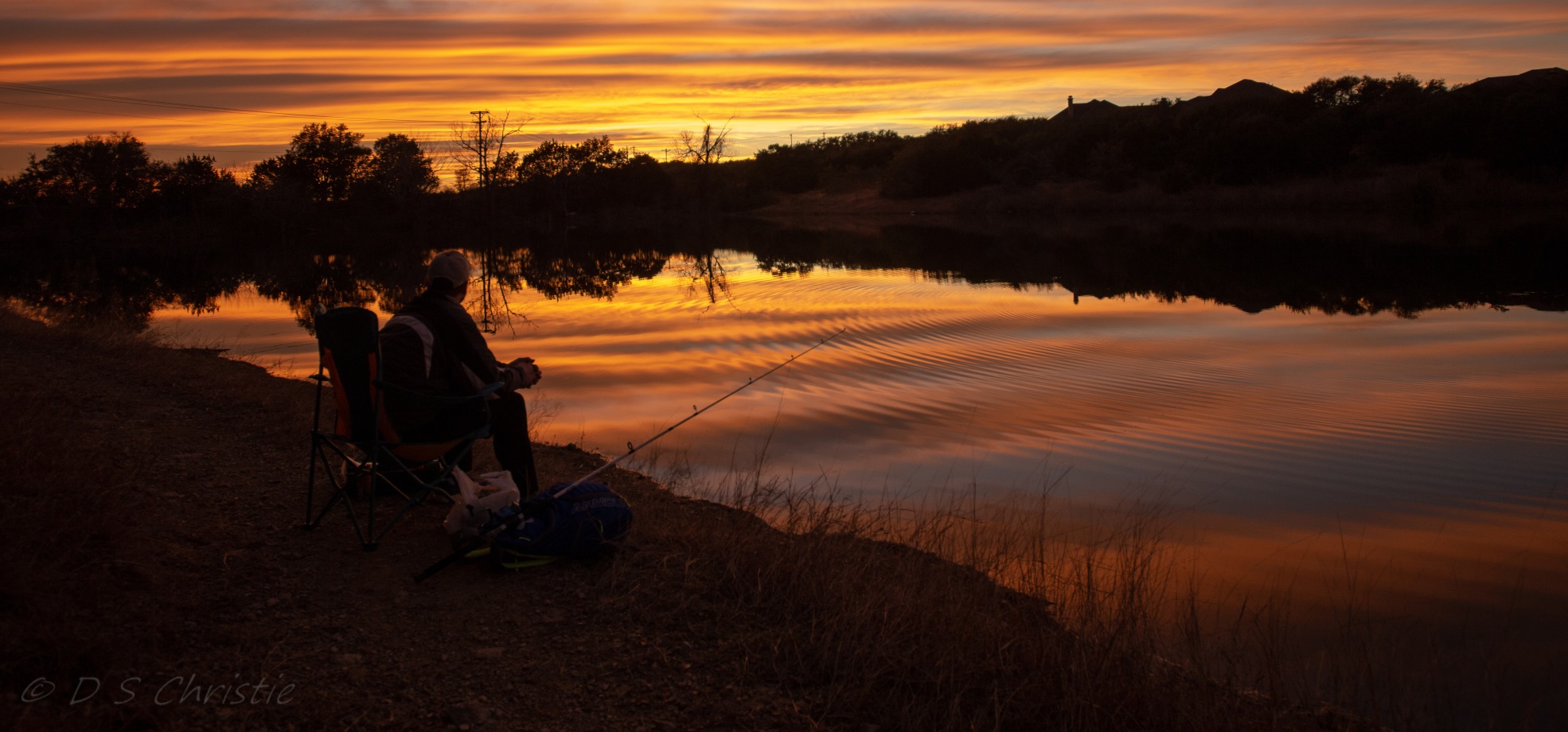
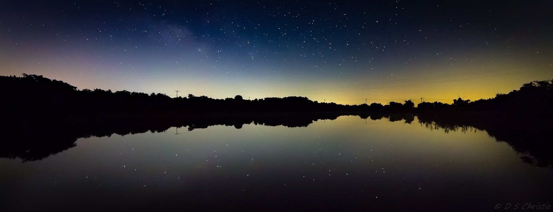
Have you been to Bear Lake? Skipped rocks on the water, cast a fishing line, maybe taken a photo of a beautiful sunset? Have you taken a stroll, a run or a spin on any of our several miles of trails? If the answers are no, no, no, you’re missing out! Missing out on fantastic natural amenities at our doorstep, which until now have been Meridian’s best kept secret! Amenities the likes of which few Austin neighborhoods have at their disposal.
Trail Map
This interactive map shows our trail system. Green trails are primary trails that may get a higher level of maintenance (by the Lake and Trails Committee and other volunteers), while purple trails are secondary trails that may have little to no maintenance (but are still very usable). Clicking on certain trail segments or icons will bring up descriptive information such as distance or conditions. You can also enable, via the legend, a photo layer where clicking on grey line segments will open photos of the trail at those points, and in some cases some trail commentary.
Printable Trail Map here (PDF)
Interactive Trail Map
Rules for Lake Area and Greenbelt Trails
Yes, we have rules, and this may seem like a lot of them, but keep in mind they are for both your protection and the protection of our neighborhood!
Please refer to these RULES here.
About the Lake and Trails
Bear Lake was originally created by a rancher who built up the earthen dam across the south end. The field of boulders and the adjacent concrete berm were built by the developer to provide an outlet to better control the lake level and direct overflow around the earthen dam to avoid eroding it. This resulted in what at times can be a rather spectacular waterfall into the ravine. The small house on the west side covers a well and pump which can be used to maintain the lake level, as it can otherwise get quite low in hot, dry summers (and we intend to do just that). The lake has a good natural supply of fish and many people, young and old, enjoy fishing there. Migrating ducks often stop in for a while, and magnificent herons and egrets can sometimes be seen. And when a beautiful sunset or sunrise is mirrored by a calm, glass-like surface, it is truly a spectacular place!
The trails are a combination of “jeep trails” — basically old ranch roads — and single-track native trails — relatively narrow trails that have been carved out on paths of least resistance by enthusiastic hikers and bikers. The longest trails are the single-track east trail encircling Jaborandi and Aralia Ridge at 1.2 miles, the jeep trail along the west side of the lake and down the ravine to the southern boundary of Meridian at Gorman Springs Road at about 1 mile, the Dalea-Espina trail at 1/2 mile and two 1/3 mile trails that form a loop through the ravine. There are myriad interconnected shorter trails as shown on the map. The trails will be maintained by resident volunteers who trim branches back as needed and may do minor shoring up of sections that erode, and clean up litter left by less responsible users. Minor branch trimming and litter pickup can of course be done by anyone who uses the trails. Many trails are easy walking but it’s always good to watch your step for stones and small stumps, and puddles or slippery mud in wetter seasons. All users are expected to be familiar with the rules shown below.
Trail Etiquette
Coming soon!
FAQ
Coming soon!
Future Development
Are we satisfied with the way things are? Never! Stay tuned for information on planned enhancements to the lake and trails.


